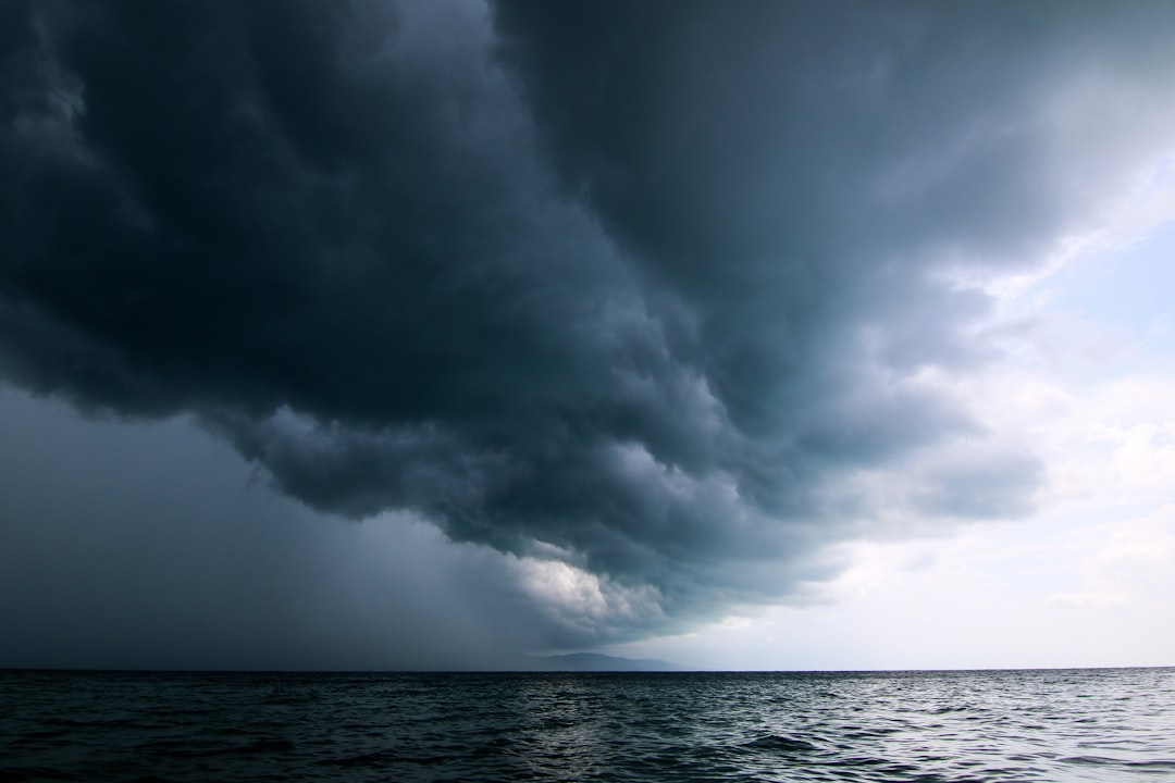
A peer-reviewed study published in Nature Sustainability put a dollar figure on something Florida’s coastal engineers and floodplain managers have argued for decades: wetland destruction doesn’t eliminate flood risk, it transfers it — directly onto homeowners and their insurers. Researchers found that filling and developing wetlands along the Atlantic and Gulf Coasts cost property owners an estimated $1.6 billion in additional flood damages during Hurricane Harvey alone. Florida, with its extensive coastline, low topography, and decades of aggressive wetland conversion, sits at the center of that calculation.
For anyone buying, selling, or holding property in this state right now, that number is not a historical curiosity. It’s an underwriting reality.
How Wetlands Actually Protect Property
Wetlands function as natural infrastructure. They absorb and slow stormwater, reduce surge velocity, and act as buffers that lower peak flood elevations in adjacent developed areas. When those systems are filled for housing tracts, commercial pads, or road extensions, that storage and attenuation capacity doesn’t disappear — the water it would have absorbed goes somewhere else instead.
The study modeled flood outcomes across coastal counties and compared areas where wetland coverage had been retained against areas where it had been converted to developed uses. The findings were straightforward: properties near converted wetlands experienced significantly deeper and longer-duration flooding. The aggregate cost of that difference, measured against a single storm event, reached $1.6 billion.
Florida lost an estimated 9.3 million acres of wetlands — roughly half its original wetland area — between European settlement and the late 20th century, according to U.S. Fish & Wildlife Service historical data. Much of that conversion happened in South Florida and along the Gulf Coast, precisely the corridors where residential and commercial development pressure has been strongest.
What This Means for Florida Property Owners Today
The insurance market is already responding to the underlying risk, even if the policy-level conversation about wetlands remains separate.
Florida homeowners have seen average insurance premiums climb sharply over the past three years. As of recent market data, some coastal Florida counties are reporting average annual homeowner premiums exceeding $5,000 — well above the national average — with flood insurance through the National Flood Insurance Program layered on top of that for properties in designated Special Flood Hazard Areas. The wetland study adds a dimension that insurers and mortgage lenders are increasingly factoring in: properties near areas of historical wetland conversion carry elevated loss probabilities that standard topographic flood maps may not fully capture.
Several key implications for buyers and current owners:
- FEMA flood maps lag reality. FEMA’s Flood Insurance Rate Maps are updated on irregular cycles and often don’t reflect current hydrology, especially in areas where recent development has altered drainage patterns. Properties that sit just outside a mapped flood zone may still carry meaningful risk if surrounding wetland buffers have been eliminated.
- Private flood insurance is pricing this in. Private carriers increasingly use first-party property data, LiDAR elevation modeling, and historical claims patterns to price risk independently of FEMA designations. Buyers relying on a “Zone X” designation to skip flood coverage are taking a bet that actuarial models now challenge.
- Disclosure obligations are limited. Florida does not require sellers to disclose whether a property was built on filled wetlands or whether adjacent parcels formerly provided flood attenuation. That due diligence falls entirely to the buyer.
- Future regulatory tightening is a real scenario. Federal and state agencies have periodically revisited Section 404 permitting under the Clean Water Act, which governs wetland fill activity. Stricter standards could constrain supply in certain corridors, affecting property values on both sides of the equation.
Regional Exposure: Where the Risk Concentrates
Southwest Florida — Lee County, Collier County, and coastal Charlotte County — represents one of the most acute intersections of historic wetland loss and active residential development in the state. Hurricane Ian’s 2022 storm surge caused catastrophic flooding in communities like Cape Coral and Fort Myers Beach, areas where substantial wetland conversion preceded recent decades of construction. Post-Ian insurance losses in the region exceeded $60 billion across all covered perils, a figure that reshaped the state’s already fragile private insurance market.
The Tampa Bay area presents a similar profile. The bay’s historic seagrass and marsh systems have been reduced significantly over the past century, and modeling by NOAA and regional water management districts consistently identifies the region as one of the most storm-surge-vulnerable metros on the Gulf Coast.
Along the Atlantic side, Broward and Miami-Dade Counties — where development pressure has historically been intense and new multifamily investment continues at pace — face compounding flood exposure from both coastal surge and interior drainage failures tied to altered watersheds.
The Buyer’s Practical Checklist
Before closing on any Florida property, particularly within five miles of a coast, bay, or river system, run through the following:
- Pull the property’s historical land use. County GIS portals and the U.S. Fish & Wildlife Service’s National Wetlands Inventory mapper will show you what was on a parcel before it was developed. Filled wetland designations are visible in the inventory data.
- Order an elevation certificate. An elevation certificate prepared by a licensed surveyor gives you the actual first-floor elevation relative to Base Flood Elevation — the foundational number your flood insurance premium is built on.
- Request 10 years of claims history. Florida law requires sellers to disclose insurance claims on residential property. A property with repeated water damage claims is telling you something about how it behaves in heavy rain events, independent of its flood zone designation.
- Verify what’s adjacent. Undeveloped wetland parcels next door may currently buffer your risk. Check whether those parcels carry development entitlements, because that buffer could be gone within a few years.
Florida’s development history cannot be undone, and the study’s $1.6 billion figure reflects costs already incurred. The question for today’s buyers and owners is whether they’re pricing the residual risk accurately — and whether the coverage they carry reflects the landscape as it actually exists, not as the maps suggest it does.
Given where flood insurance premiums are heading and how storm intensity is trending, the cost of underestimating that exposure only moves in one direction.